World Temperature Map — Global Climate Data Relief
Source: Thingiverse by bibizoza
The World Temperature Map — Global Climate Data Relief is a free printable 3D model from Thingiverse by bibizoza. Summary Every tile projects from the wall according to the mean annual air temperature over its area from the CHELSA V2.1 global climatology (1981–2010, Swiss Federal Institute. You can download the STL file from the original listing below and print it at home.

About this model
Summary Every tile projects from the wall according to the mean annual air temperature over its area from the CHELSA V2.1 global climatology (1981–2010, Swiss Federal Institute WSL, released under CC0). Six temperature bands set both colour and projection: Polar Cold below −7 °C; Boreal Cool −7 °C to 2 °C; Temperate 2 °C to 8 °C; Warm 8 °C to 17 °C; Hot 17 °C to 24 °C; Tropical Heat from 24 °C upward. Height encodes temperature band, not elevation—this is a data relief, not terrain. Tiles use a variable Voronoi-like layout: smaller where temperature changes rapidly (mountain ranges, tropic edges, monsoon coasts) and larger across homogeneous interiors (deserts, rainforest, taiga). The panel shares its coastline and frame with the World Elevation, World Population and Earth at Night maps so…
Frequently asked questions
- Is this 3D model free to download?
- Yes. World Temperature Map — Global Climate Data Relief is free to download from Thingiverse. Open it in the free Thinger app, or use the "Download from Thingiverse" link above to open the original listing.
- Where is the STL hosted?
- The download is hosted by Thingiverse, not by Thinger. We link you directly to the original listing by bibizoza.
- Who made this model?
- Designed by bibizoza, published on Thingiverse. Please credit the creator when sharing your print online.
- Can I print this at home?
- Yes. This model is intended for home FDM and resin 3D printers. Check the original listing for suggested print settings like layer height and supports.
Similar 3D models in climate map



More from bibizoza


Browse related collections
Filament price drops for your next print
We track hundreds of filaments, resins, nozzles and tools on Amazon several times a day. Don't buy before you compare: see today's best prices and the real discount, measured against 30 days of price history.
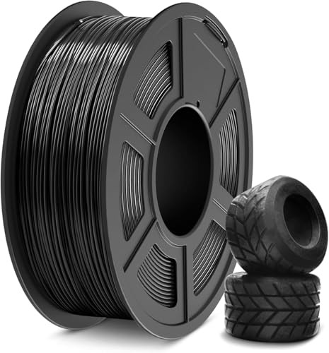 SUNLU TPU Filament 1.75mm,(1kg,Black,95a TPU) | 3D Printer Filament,H…
$20.99
 TINMORRY PETG-CF Carbon Fiber PETG Filament 1.75mm, 1 KG, Black | Car…
$17.99
 Geeetech PLA 3D Printer Filament 1.75mm, Apple Green | 1kg Spool (2.2…
$13.90
Thinger earns a commission from qualifying purchases made through these links, at no extra cost to you. The price on Amazon at checkout is the one that counts. Israeli buyers: free shipping over $49 deals in Hebrew (קונים מישראל: הדילים עם משלוח חינם מעל $49, בעברית).